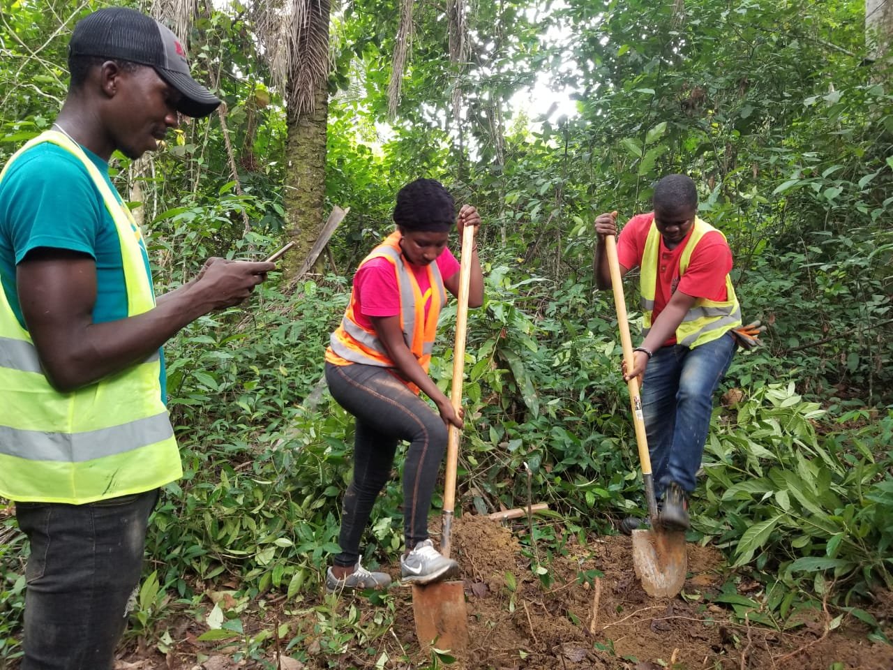
This image spotlights our industrious research team in the dynamic agricultural landscapes of Namba County, Liberia. We are engaged in an essential task – Crop Suitability Assessment – an integral component of our Liberia Soil Information System project.
With a blend of scientific knowledge and technological innovation, our team is performing rigorous assessments of soil properties. The photograph captures us analyzing soil types, nutrient content, moisture levels, and pH – all vital factors in determining the suitability of different crops. We are collecting soil samples across a variety of fields and depths to ensure a comprehensive understanding of local soil conditions.
Our team is leveraging quantitative and qualitative methodologies, tailored according to the unique morphology of each site. Alongside physical soil tests and remote sensing technologies, we’re integrating farmer feedback and studying historical crop yield data to provide a holistic understanding of the region’s crop suitability.
This Crop Suitability Assessment project transcends beyond environmental exploration and dives into the economic aspects of agriculture. By correlating soil properties with crop productivity, we aim to identify the crops best suited for the region, thereby maximizing yield and ensuring economic sustainability.
Our committed work in Namba County underscores our dedication to fostering agricultural innovation, promoting economic stability, and supporting local farming communities. As we continue this pivotal assessment, we invite you to stay updated with our findings and the practical, sustainable farming solutions we aim to propose.

