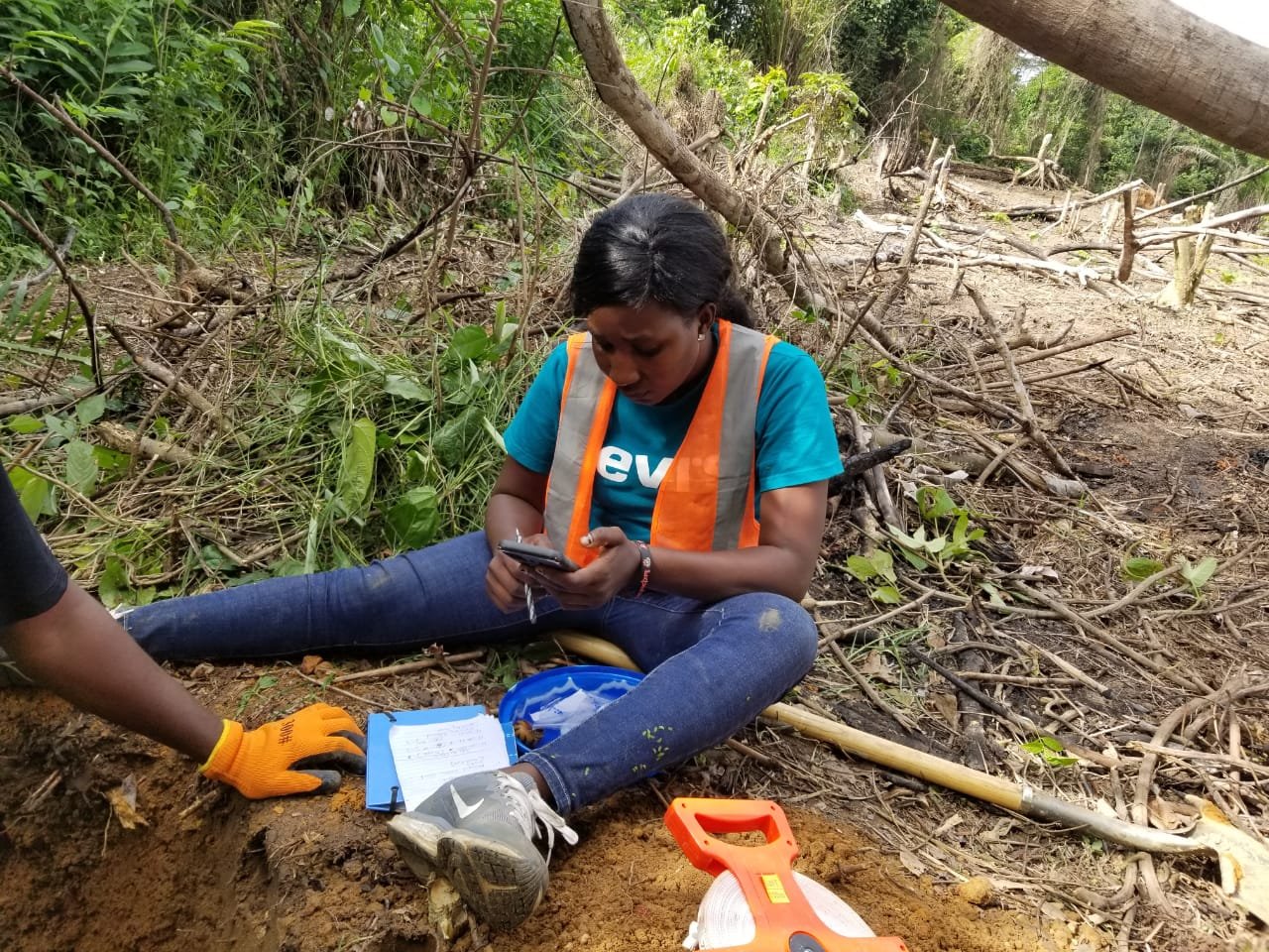
Our dedicated research team is pictured here, deeply immersed in the heart of Namba County, Liberia. The image captures us diligently conducting rigorous soil tests – a critical component of our comprehensive Liberia Soil Information System project.
Outfitted with cutting-edge soil testing kits, our team is assessing the soil’s physical and chemical properties, checking the soil structure, pH levels, nutrient content, and more. You can see us taking multiple soil samples from various depths and locations, ensuring a diverse range of data to capture the true essence of the local soil conditions.
Our field team is utilizing quantitative and qualitative assessment methods, tailored according to the unique morphology of each site. We’re employing topographic surveys, soil erosion measurement techniques, satellite imaging, local farmer interviews, and historical land-use records to gain a thorough understanding of the soil loss rates in the region.
These assessments serve not only to quantify the environmental impacts but also to gauge the economic repercussions of soil degradation. By correlating soil health with agricultural productivity and sustainability, we aim to highlight the potential financial losses from soil erosion.
This initiative is a clear reflection of our commitment to conserving our environment, supporting local economies, and ensuring a sustainable future for all. As we continue our on-the-ground efforts in Namba County, stay tuned for more updates on our findings and the practical solutions we aim to propose.