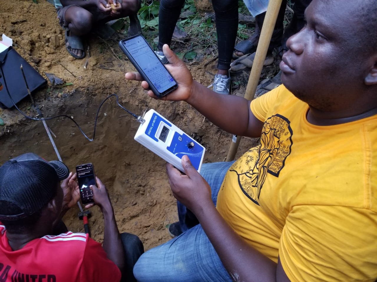
The photograph here depicts our devoted team in action in Namba County, Liberia, actively engaged in soil analysis and testing, a crucial part of our Liberia Soil Information System project.
The team is equipped with sophisticated soil testing devices, allowing us to thoroughly analyze a range of soil parameters. This encompasses a detailed assessment of soil texture, moisture content, pH levels, organic matter, and nutrient profiles. The picture captures us meticulously collecting soil samples from varying depths and locations, ensuring that our data represent the broad spectrum of soil conditions present in Namba County.
In a seamless combination of science and technology, our team employs both quantitative and qualitative methodologies based on the unique terrain and soil characteristics of each site. Methods include topographic surveys, lab-based soil composition tests, and remote sensing technologies, supplemented by direct interaction with local farming communities and analysis of historic land-use patterns.
This soil analysis and testing extend beyond understanding the environmental intricacies to reveal the economic dimensions of soil health. We’re making connections between soil quality, agricultural productivity, and economic resilience to unearth potential fiscal losses linked to soil degradation and erosion.
Our rigorous work in Namba County demonstrates our dedication to safeguarding the environment, ensuring economic stability, and promoting the welfare of local communities. As we press on with this vital endeavor, we invite you to stay tuned for regular updates on our discoveries and the actionable solutions we aim to implement.

